

No desk assessments and no conclusions drawn off an aerial photo. We come out, walk your property boundary to boundary, and give you an honest read on what is working, what is holding it back, and where the real opportunity sits.
You get an online report you can click through section by section, with interactive maps and field photos, a PDF you can print or hand to a partner, and a call where we walk through it together.
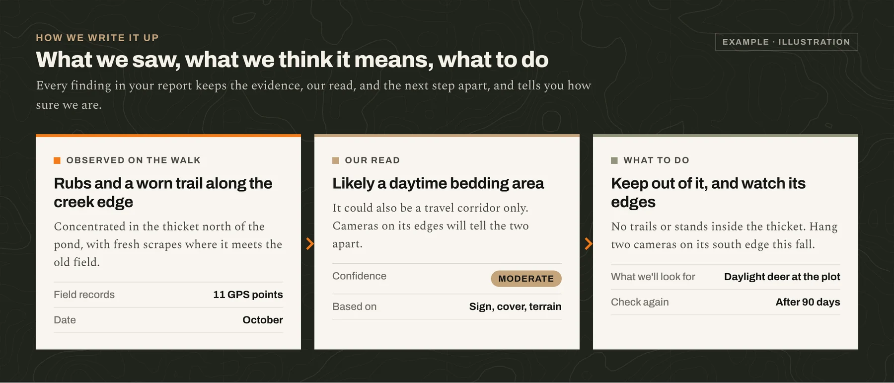
Every finding keeps three things apart: what we saw on the ground, what we think it means, and what to do about it. Each one carries a confidence level, so you can tell which conclusions rest on evidence and which need a season of cameras before anyone acts on them.
Most owners start with an assessment whether or not they go further. Several of the recommendations cost nothing to act on.
No tax goal, just a clear picture of what the property is short of and what to fix first.
Know what you have, or what you're about to have, before you spend money on it. Realtors and land brokers can send buyers to us for this.
A second opinion on a plan someone else wrote, and whether it still matches what is happening on the ground.
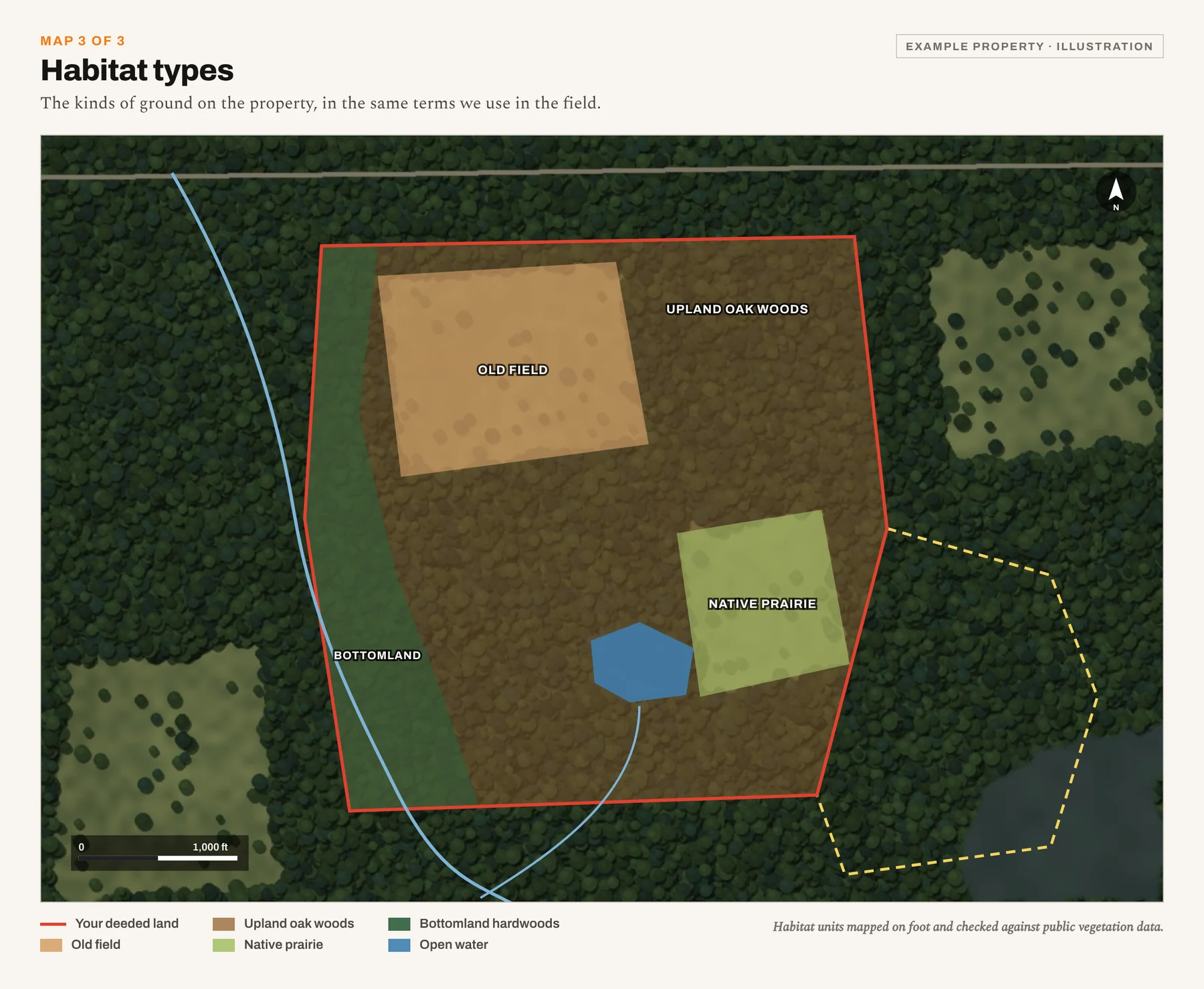
Everything we gather on the walk is what a wildlife management plan is built from. If you decide to go further, the assessment carries straight into it, and in Texas the plan can be prepared to file for wildlife tax exemption.
Tell us the county, the acreage, and what you want from the land. We will set up a call and a visit.